|
|
 |
|
|
| Distance : 2 miles | Grading : + | OS Sheet : 101 |
![]()
Gugh is the smallest of the inhabited islands, with just two houses and 3 residents (in 2001). Although it is really only an island at high tide, as it is connected to St Agnes by a sandbar which can be crossed at low tide. The island is small at only half a mile tall by a quarter of a mile wide, so can easily be walked around in an hour or two.
![]()
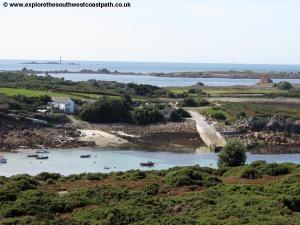
Gugh is not served directly by boat services but instead you need to walk over from St Agnes. St Agnes normally has daily boats from St Mary's, leaving the quay normally around 10 to 10:15am with return boats at various times, due to weather and tide conditions. Unlike the other islands an evening boat trip is also offered to St Agnes and if you want to travel over in the the morning you can normally return back on the return boat of the evening trip, but check when buying your ticket. If you are staying on an island other than St Agnes or St May's consult the boat trip notice boards for trips to St Agnes. Note that Gugh is cut off from St Agnes at high tide. Be sure to check the tide times to ensure that you have enough time to complete the walk before the sand bar is covered. One hour should be sufficient but it is wise to allow two.
![]()
There is no accommodation on Gugh itself, since there are only two buildings! However on neighbouring St Agnes there is more of a a choice. There aren't any hotels on the island, but there are guest houses, bed and breakfast and a campsite. Covean Cottage is a guest house with three bedrooms offering bed and breakfast accommodation. The Parsonage offers both bed and breakfast and self catering accommodation. Troy Town campsite is the only campsite on the island and is located to the west of St Agnes, right on the coast. They also offer self catering accommodation. For further details of accommodation on St Agnes visit St Agnes Where to Stay.
![]()
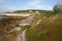
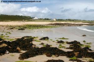
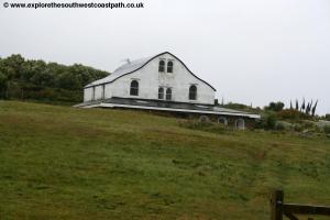
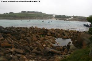
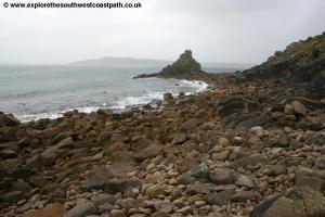
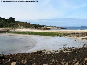
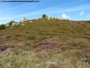
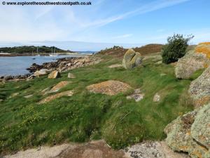
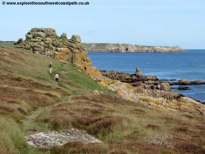
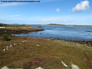
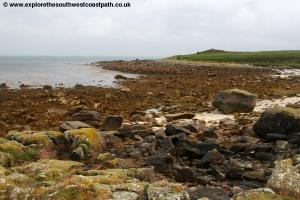
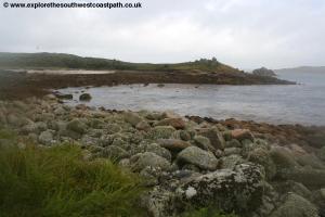
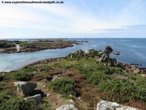
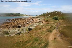
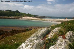
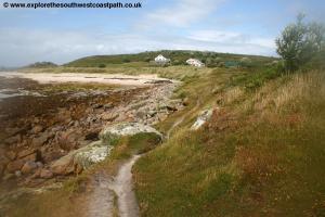
From the quay on St Agnes, follow the main path up from the quay, passing the Turks Head pub on the left. Keep along this path and when it splits, fork left on the path going downhill to the sand bar. Cross the sand bar onto Gugh itself, wit the two houses ahead. They are both of the same design and have unusual curved roofs to deflect the wind, as the area is quite exposed. Once over the sand bar, turn left on the path going past the old boat. You are passing the channel between Gugh and St Agnes on the left, with the quay and Turks head visible across the water. The beach ere is mostly rocky. Ignore a path off to the right which goes up to Kitten Hill, the highest point of the island. Soon you reach the north west corner of the island where there is a little rocky outcrop and the island of Cow and Calf a little off the coast. Here you can turn to the right with the coast on a narrow lower path or head a little way back the way you just came and turn left on a slightly wider higher path.
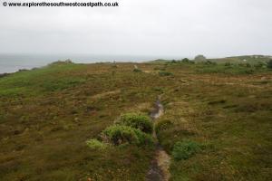
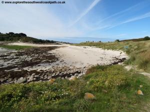
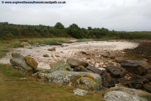
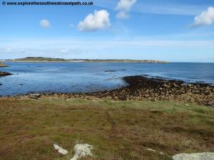
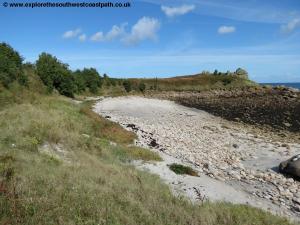
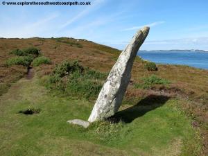
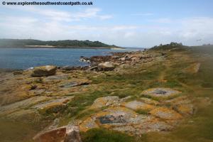
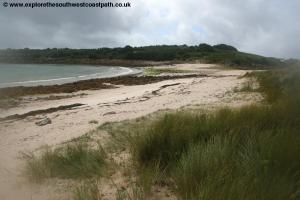
Soon you reach the north east corner of the island where you turn right with the coast and path passing a few cairns and rocky outcrops on the way. From here you have views over to St Mary's. Continue on the coast path to Dropnose Porth, a little rocky and sandy beach. Take the main path along the back of this beach, ignoring the wide path off to the right back to the sand bar (which goes across the centre of the island), and keeping to the most coastal of the paths. There is a path down onto the beach itself but the main coast path continues along the grass behind the beach. Follow this path out to Dropnose Point, the most easterly point of the island and keep going round to Hoe Point, the south most point of the island.
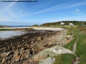
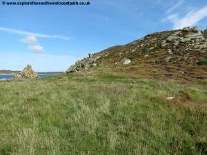
Continue on the main path along the western coast of the island, with fine views back to St Agnes. This easy path goes past a couple of bushes and rocky outcrops to return to the islands on the houses and the sand bar over to St Agnes.
![]()
This is a circular walk, so just return over the sand bar to St Agnes and the quay.
![]()
Here are some photos of the walk. They are taken on different days and on one day I was struggling with the lens steaming up.
 |
 |
 |
 |
 |
 |
 |
 |
 |
 |
 |
 |
 |
 |
 |
 |
 |
 |
 |
 |
 |
 |
 |
 |
 |
 |
![]()
Ordnance Survey Landranger map 101 covers the Isles of Scilly and is available in the newsagents shop in Hugh Town on St Mary's or at bookshops nationwide as well as Amazon.
![]()