
|
 |
|
 |
| Distance : 4 miles | Grading : ++ | OS Sheet : N/A |
![]()
This walk takes in the coast line of the smallest of the inhabited channel islands that is open to the public. Despite its small size the island packs in a variety of scenery. The south coast of the island is rocky with cliff top paths whilst to the north it is flatter with large sandy beaches and heathland.
![]()
Herm can easily be reached by ferry from Guernsey. For details see the link below or the Travel Trident website.
![]()
Herm has a range of accommodation from the Hotel, The White House Hotel to self catering cottages and a campsite. All the details of the islands accommodation can be found on the Herm Island website.
![]()
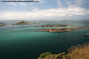
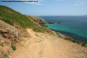
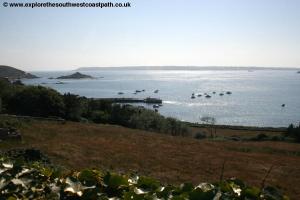
On arriving on the island you will be dropped at either Rosaire Steps (low tide) or the harbour at high tide. Before departing be sure to check where the return boats go from as it can vary depending on the tides. Assuming you arrive at the harbour, turn right and keep the sea on your right, and follow the wide track that leads along the west coast of the island to Rosaire Steps. You have good views of the private island of Jethou from here as well as the numerous rocky little islands between Guernsey and Herm. From here you continue south on the coast path that soon climbs up from the harbour. Follow this to the southern tip of the island and then continue with the sea on your right around the rocky and bracken covered cliffs.
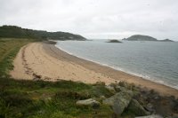
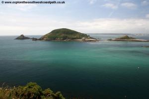
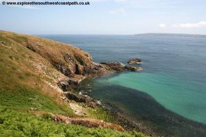
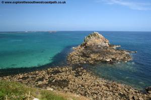
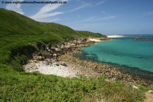
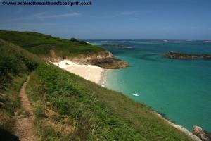
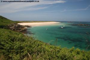
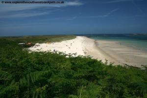
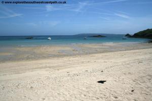
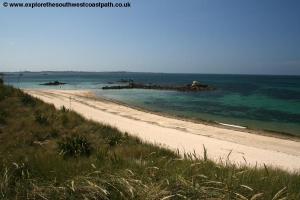
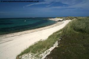
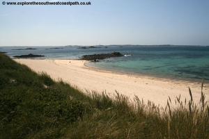
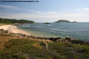
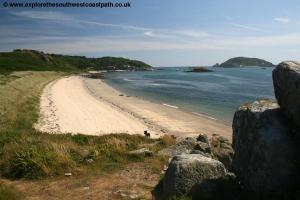
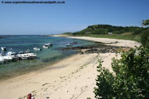
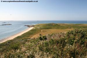
Along the south east corner of the island continue on the good coastal path, which is quite rocky in places. Soon you round a rocky little inlet and beyond that come to Puffin Bay. Just off the coast here is the tiny island of Putrainez. Keep on the coast path around the headland and another little rocky island just off the coast, Caquorobert, this one a narrow and quite high little island. From here the coast path gradually drops to come down to one of the best beaches on the island, Belvoir Bay. There is an ice cream kiosk and small shop here too. The path north from Belvoir Bay is easy and follow the fairly wide road to lead down to the wonderful Shell Beach. This beach much of which is made from small broken shells is a beautiful white beach with clear blue water and gives Herm the feel of a tropical island. As you reach the beach you can either continue along the beach or take the path along the back. Soon the wide sandy road turns left inland but a footpath continues around the north of the island, which you take.
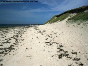
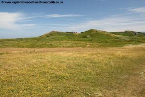
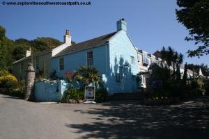
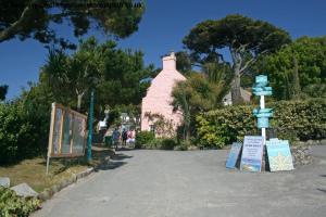
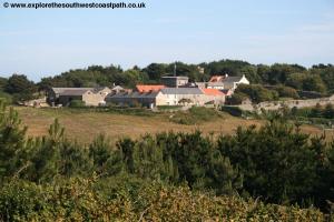
Go north along Shell Beach to reach the north west corner of the island, Alderney Point. Continue west along Mouisonniere Beach the beach along the north coast of the island. This is just as good as Shell Beach but tends to be quieter as it is more remote. Inland from the beach is Herm common a flatter area made up of rocky outcrops, heather, gorse and bracken. Continue along the beach heading west to Oyster Point, the north west corner of the island which offers good views over to nearby Guernsey. Turn with the coast to continue south along the west coast of the beach, Bears Beach. This beach is rockier and at high tide you will likely not be able to walk all the way along the beach but the footpath runs along the back of the beach. There are numerous rocky little island just off the coast here including Hermetier. You certainly have to know what you are doing to navigate about around here. As you continue south there is the wide sandy road along the back of the beach and this now heads down to the main harbour where the walk ends. You will find the main facilities of Herm just a few minutes’ walk inland from here, including the White House Hotel and the Mermaid Tavern as well as a couple of gift shops. Further inland is a woodland walk up to the church and manor area (most of which is holiday cottages).
![]()
This is a circular walk so there is no need for transport back to the start. If you are returning to Guernsey the Travel Trident website has the boat details.
![]()
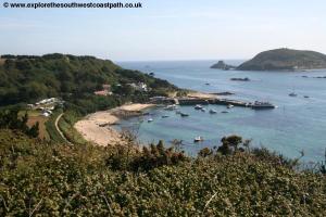
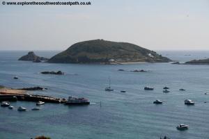
Here are some photos of the walk. Click each photo for a larger version.
 |
 |
 |
 |
 |
 |
 |
 |
 |
 |
 |
 |
 |
 |
 |
 |
 |
 |
 |
 |
 |
 |
 |
 |
 |
 |
 |
 |
![]()
The UK Ordnance Survey do not produce their own maps of the Channel Islands. However a detailed map of the island can be purchased on arrival at the island shop.
![]()